St Leonard's Terrace, Bodmin
Introduction
The photograph on this page of St Leonard's Terrace, Bodmin by Derek Harper as part of the Geograph project.
The Geograph project started in 2005 with the aim of publishing, organising and preserving representative images for every square kilometre of Great Britain, Ireland and the Isle of Man.

There are currently over 7.5m images from over 14,400 individuals and you can help contribute to the project by visiting https://www.geograph.org.uk
St Leonard's Terrace, Bodmin
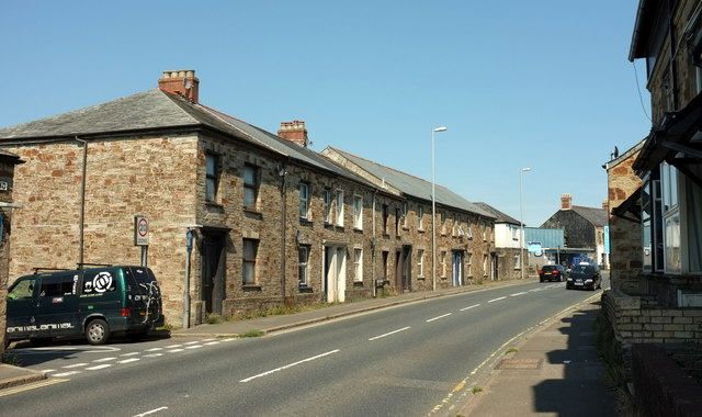
Image: © Derek Harper Taken: 16 Aug 2016
Facing the road named St Leonard's, the A389. Neither has the inverted comma on the maps, but it seems to be used a fair amount elsewhere.
Images are licensed for reuse under creativecommons.org/licenses/by-sa/2.0
Image Location
Latitude
50.470992
Longitude
-4.731992