Church Road, Whimple
Introduction
The photograph on this page of Church Road, Whimple by Derek Harper as part of the Geograph project.
The Geograph project started in 2005 with the aim of publishing, organising and preserving representative images for every square kilometre of Great Britain, Ireland and the Isle of Man.

There are currently over 7.5m images from over 14,400 individuals and you can help contribute to the project by visiting https://www.geograph.org.uk
Church Road, Whimple
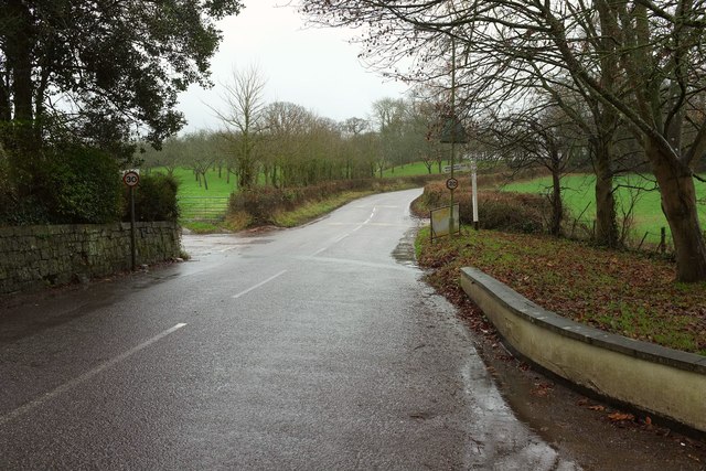
Image: © Derek Harper Taken: 12 Jan 2017
The scene in Image on a rather less sunny winter's day, over seven years later. Almost continuous rain turned to sleet and snow later. The lane ahead leads to Hand and Pen on the B3174; the left turn is Woodhayes Lane. Beyond the turn is one of the orchards for which Whimple is well known.
Images are licensed for reuse under creativecommons.org/licenses/by-sa/2.0
Image Location
Latitude
50.762907
Longitude
-3.355309