Top Club bus stop and shelter, Risca
Introduction
The photograph on this page of Top Club bus stop and shelter, Risca by Jaggery as part of the Geograph project.
The Geograph project started in 2005 with the aim of publishing, organising and preserving representative images for every square kilometre of Great Britain, Ireland and the Isle of Man.

There are currently over 7.5m images from over 14,400 individuals and you can help contribute to the project by visiting https://www.geograph.org.uk
Top Club bus stop and shelter, Risca
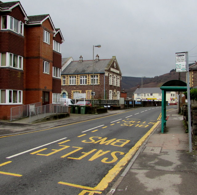
Image: © Jaggery Taken: 10 Jan 2017
Alongside the B4591 St Mary Street, outside Risca Workmans Top Club & Institute. http://www.geograph.org.uk/photo/5250362 This stop is for buses to Newport, and for the X16 bus to Cardiff.
Images are licensed for reuse under creativecommons.org/licenses/by-sa/2.0
Image Location
Latitude
51.612909
Longitude
-3.103182