Bridleway is parallel to farm access road
Introduction
The photograph on this page of Bridleway is parallel to farm access road by Shazz as part of the Geograph project.
The Geograph project started in 2005 with the aim of publishing, organising and preserving representative images for every square kilometre of Great Britain, Ireland and the Isle of Man.

There are currently over 7.5m images from over 14,400 individuals and you can help contribute to the project by visiting https://www.geograph.org.uk
Bridleway is parallel to farm access road
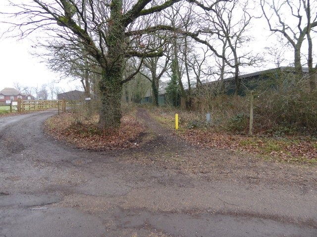
Image: © Shazz Taken: 8 Jan 2017
The bridleway is known as Sake Ride Lane.
Images are licensed for reuse under creativecommons.org/licenses/by-sa/2.0
Image Location
Latitude
50.949953
Longitude
-0.251209