West Southbourne: footpath H07 reaches Stourvale Road
Introduction
The photograph on this page of West Southbourne: footpath H07 reaches Stourvale Road by Chris Downer as part of the Geograph project.
The Geograph project started in 2005 with the aim of publishing, organising and preserving representative images for every square kilometre of Great Britain, Ireland and the Isle of Man.

There are currently over 7.5m images from over 14,400 individuals and you can help contribute to the project by visiting https://www.geograph.org.uk
West Southbourne: footpath H07 reaches Stourvale Road
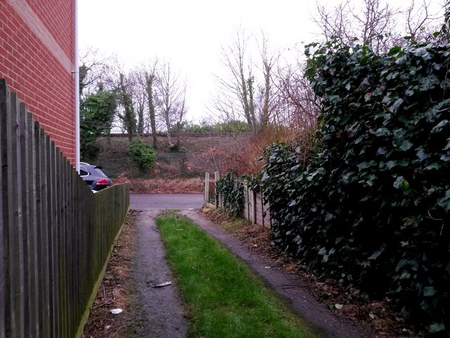
Image: © Chris Downer Taken: 8 Jan 2017
This public footpath is essentially a rear access driveway for properties in Kimberley Road (to the right) and Paisley Road (left). We look here along the northwest end of the path, as it emerges onto Stourvale Road with the railway line running along the embankment beyond. See Image for the view along the path from the road ahead, and Image for the next view on the path behind us, with links to further photos on the mentioned routes.
Images are licensed for reuse under creativecommons.org/licenses/by-sa/2.0
Image Location
Latitude
50.73251
Longitude
-1.815462