Footpath to Runtlings
Introduction
The photograph on this page of Footpath to Runtlings by Bill Boaden as part of the Geograph project.
The Geograph project started in 2005 with the aim of publishing, organising and preserving representative images for every square kilometre of Great Britain, Ireland and the Isle of Man.

There are currently over 7.5m images from over 14,400 individuals and you can help contribute to the project by visiting https://www.geograph.org.uk
Footpath to Runtlings
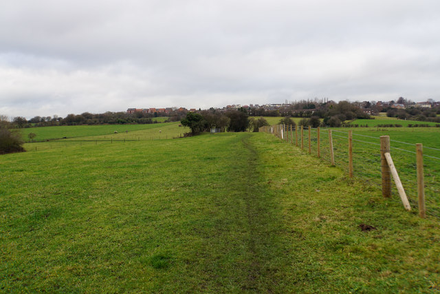
Image: © Bill Boaden Taken: 7 Jan 2017
Runtlings is a suburb of Ossett and can be seen at the top of the hill. This is a gentle climb away from the River Calder.
Images are licensed for reuse under creativecommons.org/licenses/by-sa/2.0
Image Location
Latitude
53.671284
Longitude
-1.593403