Aldrington Station
Introduction
The photograph on this page of Aldrington Station by Simon Carey as part of the Geograph project.
The Geograph project started in 2005 with the aim of publishing, organising and preserving representative images for every square kilometre of Great Britain, Ireland and the Isle of Man.

There are currently over 7.5m images from over 14,400 individuals and you can help contribute to the project by visiting https://www.geograph.org.uk
Aldrington Station
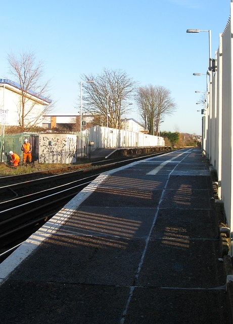
Image: © Simon Carey Taken: 5 Jan 2017
Opened in 1904 as Dyke Junction Halt the station was renamed and rebuilt in 1932. Access is via footpaths on either side down to a footpath that links Tamworth Road to Amherst Crescent.
Images are licensed for reuse under creativecommons.org/licenses/by-sa/2.0
Image Location
Latitude
50.836296
Longitude
-0.181751