Buildings at Batt's Corner Farm
Introduction
The photograph on this page of Buildings at Batt's Corner Farm by Nigel Mykura as part of the Geograph project.
The Geograph project started in 2005 with the aim of publishing, organising and preserving representative images for every square kilometre of Great Britain, Ireland and the Isle of Man.

There are currently over 7.5m images from over 14,400 individuals and you can help contribute to the project by visiting https://www.geograph.org.uk
Buildings at Batt's Corner Farm
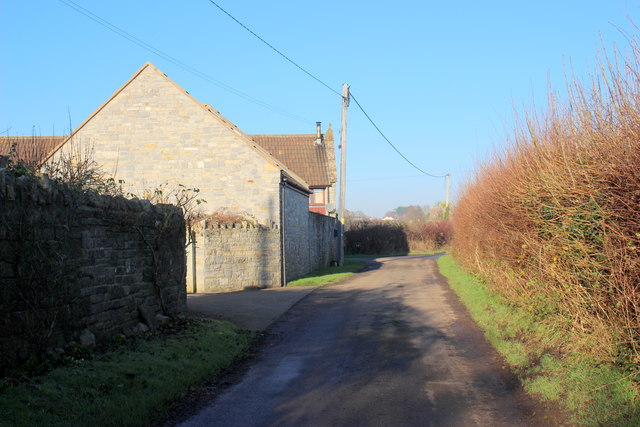
Image: © Nigel Mykura Taken: 28 Dec 2016
This is no longer a working farm and the property now consists of three separate large residences. Batt's Corner is where Vedal Drove meets Batt's Lane.
Images are licensed for reuse under creativecommons.org/licenses/by-sa/2.0
Image Location
Latitude
51.03195
Longitude
-2.776442