Maytree Walk, Hove
Introduction
The photograph on this page of Maytree Walk, Hove by Simon Carey as part of the Geograph project.
The Geograph project started in 2005 with the aim of publishing, organising and preserving representative images for every square kilometre of Great Britain, Ireland and the Isle of Man.

There are currently over 7.5m images from over 14,400 individuals and you can help contribute to the project by visiting https://www.geograph.org.uk
Maytree Walk, Hove
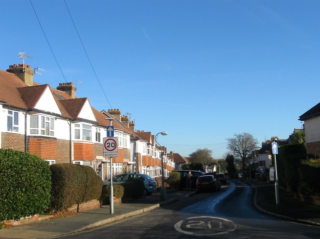
Image: © Simon Carey Taken: 5 Jan 2017
A residential road that links Rowan Avenue to Elm Drive that was built in the 1930s on land belonging to the former parish of Aldrington.
Images are licensed for reuse under creativecommons.org/licenses/by-sa/2.0
Image Location
Latitude
50.842091
Longitude
-0.195872