East Brent from the Knoll
Introduction
The photograph on this page of East Brent from the Knoll by Neil Owen as part of the Geograph project.
The Geograph project started in 2005 with the aim of publishing, organising and preserving representative images for every square kilometre of Great Britain, Ireland and the Isle of Man.

There are currently over 7.5m images from over 14,400 individuals and you can help contribute to the project by visiting https://www.geograph.org.uk
East Brent from the Knoll
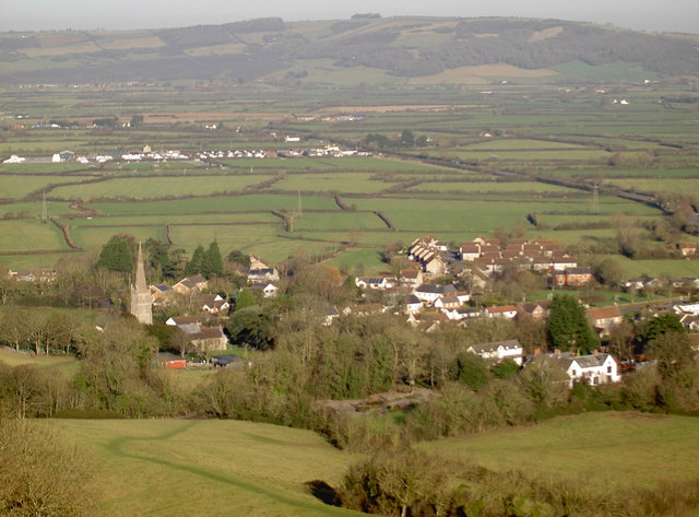
Image: © Neil Owen Taken: 5 Jan 2017
The distinctive spire of St Mary the Blessed Virgin is an obvious landmark. The smaller village of Edingworth lies to the north.
Images are licensed for reuse under creativecommons.org/licenses/by-sa/2.0
Image Location
Latitude
51.263569
Longitude
-2.938713