Pillbox at Shield Farm, Muggleswick
Introduction
The photograph on this page of Pillbox at Shield Farm, Muggleswick by Alan Murray-Rust as part of the Geograph project.
The Geograph project started in 2005 with the aim of publishing, organising and preserving representative images for every square kilometre of Great Britain, Ireland and the Isle of Man.

There are currently over 7.5m images from over 14,400 individuals and you can help contribute to the project by visiting https://www.geograph.org.uk
Pillbox at Shield Farm, Muggleswick
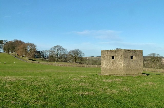
Image: © Alan Murray-Rust Taken: 28 Dec 2016
Standard Type 22 hexagonal type, not included in the Defence of Britain database.
Images are licensed for reuse under creativecommons.org/licenses/by-sa/2.0
Image Location
Latitude
54.836701
Longitude
-1.92586