Houses in Bridgetown, Totnes
Introduction
The photograph on this page of Houses in Bridgetown, Totnes by Derek Harper as part of the Geograph project.
The Geograph project started in 2005 with the aim of publishing, organising and preserving representative images for every square kilometre of Great Britain, Ireland and the Isle of Man.

There are currently over 7.5m images from over 14,400 individuals and you can help contribute to the project by visiting https://www.geograph.org.uk
Houses in Bridgetown, Totnes
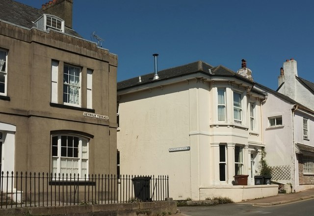
Image: © Derek Harper Taken: 14 Aug 2016
Similar to Image, but including part of Seymour Terrace https://www.historicengland.org.uk/listing/the-list/list-entry/1107505 on the left. The side turning is Rowsell's Lane.
Images are licensed for reuse under creativecommons.org/licenses/by-sa/2.0
Image Location


Leaflet Map data © OpenStreetMap
Latitude
50.43032
Longitude
-3.680188