Barrhead Housing Association
Introduction
The photograph on this page of Barrhead Housing Association by Richard Sutcliffe as part of the Geograph project.
The Geograph project started in 2005 with the aim of publishing, organising and preserving representative images for every square kilometre of Great Britain, Ireland and the Isle of Man.

There are currently over 7.5m images from over 14,400 individuals and you can help contribute to the project by visiting https://www.geograph.org.uk
Barrhead Housing Association
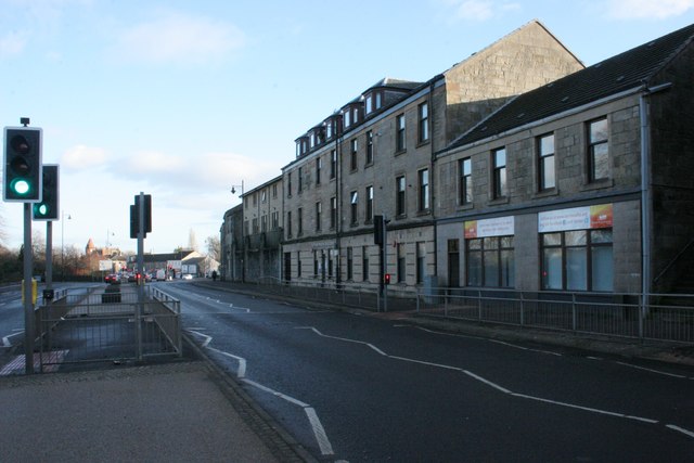
Image: © Richard Sutcliffe Taken: 4 Jan 2017
On A736, Main Street. The banners on the right side of the building are celebrating 30 years of working in the community from 1986-2016.
Images are licensed for reuse under creativecommons.org/licenses/by-sa/2.0
Image Location
Latitude
55.799102
Longitude
-4.39604