Tathwell, Dovendale and two valleys: aerial 2017
Introduction
The photograph on this page of Tathwell, Dovendale and two valleys: aerial 2017 by Chris as part of the Geograph project.
The Geograph project started in 2005 with the aim of publishing, organising and preserving representative images for every square kilometre of Great Britain, Ireland and the Isle of Man.

There are currently over 7.5m images from over 14,400 individuals and you can help contribute to the project by visiting https://www.geograph.org.uk
Tathwell, Dovendale and two valleys: aerial 2017
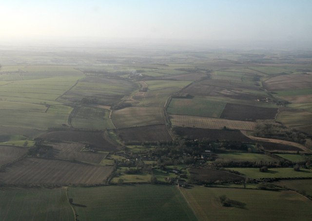
Image: © Chris Taken: 5 Jan 2017
New Lane runs up the centre, A16 and Dovendale come in on the right. Unnamed valley left of and parallel to New Lane. Shot extends into neighbouring squares.
Images are licensed for reuse under creativecommons.org/licenses/by-sa/2.0
Image Location


Leaflet Map data © OpenStreetMap
Latitude
53.322197
Longitude
-0.032628