Woodlands, near Bridford (2)
Introduction
The photograph on this page of Woodlands, near Bridford (2) by Stephen Craven as part of the Geograph project.
The Geograph project started in 2005 with the aim of publishing, organising and preserving representative images for every square kilometre of Great Britain, Ireland and the Isle of Man.

There are currently over 7.5m images from over 14,400 individuals and you can help contribute to the project by visiting https://www.geograph.org.uk
Woodlands, near Bridford (2)
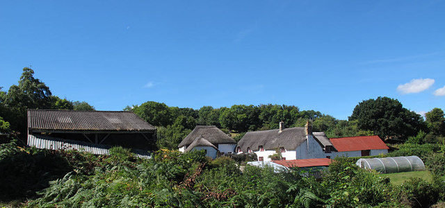
Image: © Stephen Craven Taken: 26 Aug 2016
The hamlet of Woodlands consists of a handful of farm buildings and thatched houses around a shallow ford, seen in this photo. They are listed grade 2* (list entries 1097829, 1163575 and 1163580).
Images are licensed for reuse under creativecommons.org/licenses/by-sa/2.0
Image Location
Latitude
50.678134
Longitude
-3.683786