Haxey Turbary Nature Reserve
Introduction
The photograph on this page of Haxey Turbary Nature Reserve by Jonathan Thacker as part of the Geograph project.
The Geograph project started in 2005 with the aim of publishing, organising and preserving representative images for every square kilometre of Great Britain, Ireland and the Isle of Man.

There are currently over 7.5m images from over 14,400 individuals and you can help contribute to the project by visiting https://www.geograph.org.uk
Haxey Turbary Nature Reserve
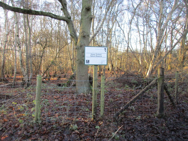
Image: © Jonathan Thacker Taken: 2 Jan 2017
Haxey Turbary was one of several turbaries on the western edge of the Isle of Axholme. A former bog, it was used for the digging of peat and has now become woodland dominated by birch.
Images are licensed for reuse under creativecommons.org/licenses/by-sa/2.0
Image Location
Latitude
53.506038
Longitude
-0.862964