National Cycle Route 4, Docks Way, Newport
Introduction
The photograph on this page of National Cycle Route 4, Docks Way, Newport by Jaggery as part of the Geograph project.
The Geograph project started in 2005 with the aim of publishing, organising and preserving representative images for every square kilometre of Great Britain, Ireland and the Isle of Man.

There are currently over 7.5m images from over 14,400 individuals and you can help contribute to the project by visiting https://www.geograph.org.uk
National Cycle Route 4, Docks Way, Newport
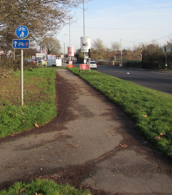
Image: © Jaggery Taken: 3 Jan 2017
National Cycle Route 4 is a long distance route between London and Fishguard in West Wales, via Reading, Bath, Bristol, Newport, Swansea, Carmarthen, Tenby, Haverfordwest and St Davids.
Images are licensed for reuse under creativecommons.org/licenses/by-sa/2.0
Image Location
Latitude
51.569955
Longitude
-2.999986