The bottom of Mosshead Road
Introduction
The photograph on this page of The bottom of Mosshead Road by Richard Sutcliffe as part of the Geograph project.
The Geograph project started in 2005 with the aim of publishing, organising and preserving representative images for every square kilometre of Great Britain, Ireland and the Isle of Man.

There are currently over 7.5m images from over 14,400 individuals and you can help contribute to the project by visiting https://www.geograph.org.uk
The bottom of Mosshead Road
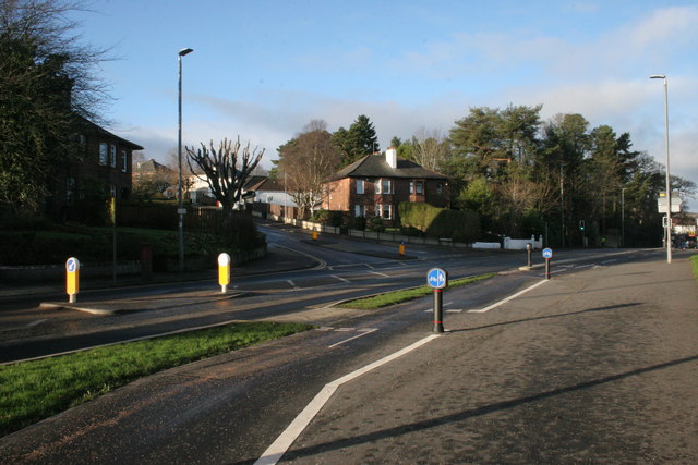
Image: © Richard Sutcliffe Taken: 2 Jan 2017
Junction of Mosshead Road and the A81, Milngavie Road. The Bears Way cycle path is in the foreground.
Images are licensed for reuse under creativecommons.org/licenses/by-sa/2.0
Image Location
Latitude
55.929964
Longitude
-4.316222