Ongoing erection of two semi-detached houses, St Mary?s Road
Introduction
The photograph on this page of Ongoing erection of two semi-detached houses, St Mary?s Road by John Baker as part of the Geograph project.
The Geograph project started in 2005 with the aim of publishing, organising and preserving representative images for every square kilometre of Great Britain, Ireland and the Isle of Man.

There are currently over 7.5m images from over 14,400 individuals and you can help contribute to the project by visiting https://www.geograph.org.uk
Ongoing erection of two semi-detached houses, St Mary?s Road
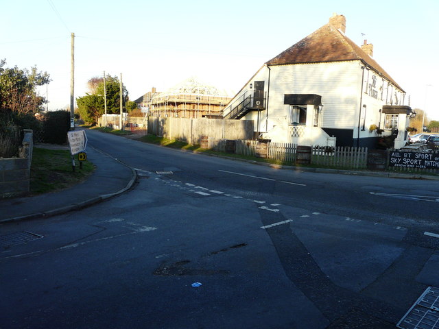
Image: © John Baker Taken: 4 Dec 2016
Planning permission has been approved, with conditions, by Folkestone and Hythe District Council under application number Y16/0071/SH for the “erection of two semi-detached dwellings (alternative to planning permission Y14/0763/SH, which was for the “erection of a two storey dwelling (alternative scheme to planning application Y13/1285/SH))”. My previous visit showed the Image This view of Image shows them upon completion.
Images are licensed for reuse under creativecommons.org/licenses/by-sa/2.0
Image Location
Latitude
50.991224
Longitude
0.94782