Sebastian Close, Willenhall, southeast Coventry
Introduction
The photograph on this page of Sebastian Close, Willenhall, southeast Coventry by Robin Stott as part of the Geograph project.
The Geograph project started in 2005 with the aim of publishing, organising and preserving representative images for every square kilometre of Great Britain, Ireland and the Isle of Man.

There are currently over 7.5m images from over 14,400 individuals and you can help contribute to the project by visiting https://www.geograph.org.uk
Sebastian Close, Willenhall, southeast Coventry
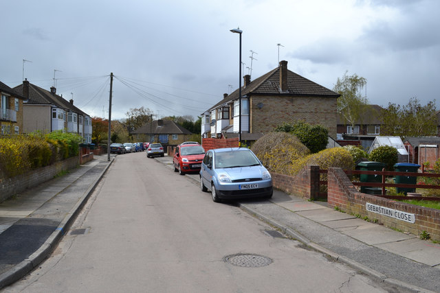
Image: © Robin Stott Taken: 30 Apr 2016
A later walk made it clear that this is made-up, level ground. Hard-to-find footpaths off this close and Sedgemoor Road drop sharply down to a grassy open space in the floodplain of the River Sowe.
Images are licensed for reuse under creativecommons.org/licenses/by-sa/2.0
Image Location
Latitude
52.38205
Longitude
-1.477818