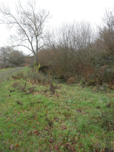
Beside the Wiltshire and Berkshire Canal
Introduction
The photograph on this page of Beside the Wiltshire and Berkshire Canal by HelenK as part of the Geograph project.
The Geograph project started in 2005 with the aim of publishing, organising and preserving representative images for every square kilometre of Great Britain, Ireland and the Isle of Man.
There are currently over 7.5m images from over 14,400 individuals and you can help contribute to the project by visiting https://www.geograph.org.uk

Image: © HelenK Taken: 1 Jan 2017
A stretch of the former canal, which is currently being restored, runs alongside the path. The canal was opened in 1810 to carry coal from Somerset to Wiltshire and Berkshire. From 1841 it was in competition with the railway, and it ceased to be navigable after a breach in the Stanley Aqueduct in 1901. The Wilts and Berks Canal Trust has been working since 1977 to restore the canal. https://www.wbct.org.uk/the-trust/our-history

