Outflow from Blakemere Moss
Introduction
The photograph on this page of Outflow from Blakemere Moss by Stephen Craven as part of the Geograph project.
The Geograph project started in 2005 with the aim of publishing, organising and preserving representative images for every square kilometre of Great Britain, Ireland and the Isle of Man.

There are currently over 7.5m images from over 14,400 individuals and you can help contribute to the project by visiting https://www.geograph.org.uk
Outflow from Blakemere Moss
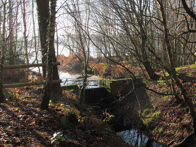
Image: © Stephen Craven Taken: 29 Dec 2016
According to another contributor who provides a close look at the weir Image, this mere was created less than 15 years ago by raising the water level in a marsh. It is thus a very shallow mere, no more than a couple of metres deep, although some 30ha in area. Any outflow - and it will usually be minimal - eventually joins the River Weaver.
Images are licensed for reuse under creativecommons.org/licenses/by-sa/2.0
Image Location
Latitude
53.237301
Longitude
-2.66879