Path to the open space behind the school and a building, Chace Avenue, Willenhall
Introduction
The photograph on this page of Path to the open space behind the school and a building, Chace Avenue, Willenhall by Robin Stott as part of the Geograph project.
The Geograph project started in 2005 with the aim of publishing, organising and preserving representative images for every square kilometre of Great Britain, Ireland and the Isle of Man.

There are currently over 7.5m images from over 14,400 individuals and you can help contribute to the project by visiting https://www.geograph.org.uk
Path to the open space behind the school and a building, Chace Avenue, Willenhall
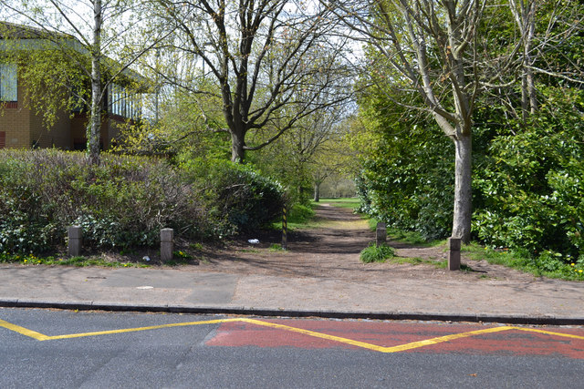
Image: © Robin Stott Taken: 30 Apr 2016
The school is St Anne's Catholic Primary School; the anonymous building on the left may be a remand centre Image The extensive open space and playing fields to the west are bounded by scrub along the River Sowe Image
Images are licensed for reuse under creativecommons.org/licenses/by-sa/2.0
Image Location
Latitude
52.387779
Longitude
-1.472167