Field, Morton
Introduction
The photograph on this page of Field, Morton by Richard Webb as part of the Geograph project.
The Geograph project started in 2005 with the aim of publishing, organising and preserving representative images for every square kilometre of Great Britain, Ireland and the Isle of Man.

There are currently over 7.5m images from over 14,400 individuals and you can help contribute to the project by visiting https://www.geograph.org.uk
Field, Morton
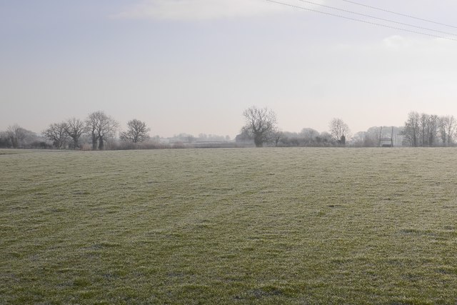
Image: © Richard Webb Taken: 29 Dec 2016
Beside the Montgomery Canal, there is a bridge visible on the far side of the field.
Images are licensed for reuse under creativecommons.org/licenses/by-sa/2.0
Image Location
Latitude
52.814461
Longitude
-3.040779