Rhyne on Butleigh Moor
Introduction
The photograph on this page of Rhyne on Butleigh Moor by Nigel Mykura as part of the Geograph project.
The Geograph project started in 2005 with the aim of publishing, organising and preserving representative images for every square kilometre of Great Britain, Ireland and the Isle of Man.

There are currently over 7.5m images from over 14,400 individuals and you can help contribute to the project by visiting https://www.geograph.org.uk
Rhyne on Butleigh Moor
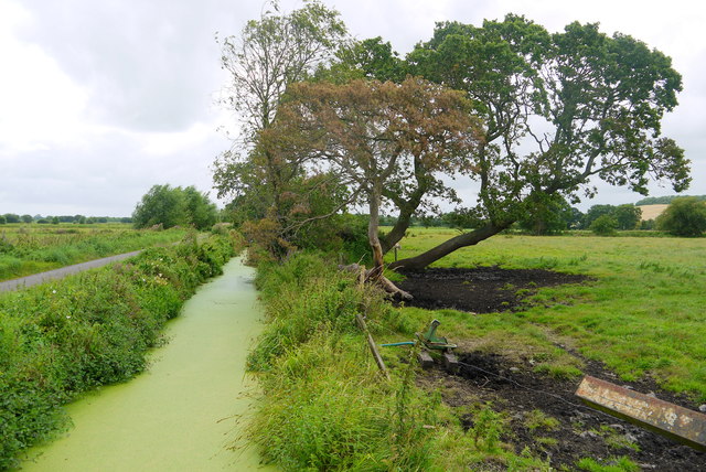
Image: © Nigel Mykura Taken: 5 Aug 2015
This weed covered rhyne runs alongside Butleigh Drove which can be seen on the left. Taken from the bridge that carries a footpath to Little Huckham farm. The almost black soil of the peat moor can be clearly seen where the cattle have churned it up.
Images are licensed for reuse under creativecommons.org/licenses/by-sa/2.0
Image Location
Latitude
51.110274
Longitude
-2.789754