Space for development, St Ann Way, Gloucester
Introduction
The photograph on this page of Space for development, St Ann Way, Gloucester by David Smith as part of the Geograph project.
The Geograph project started in 2005 with the aim of publishing, organising and preserving representative images for every square kilometre of Great Britain, Ireland and the Isle of Man.

There are currently over 7.5m images from over 14,400 individuals and you can help contribute to the project by visiting https://www.geograph.org.uk
Space for development, St Ann Way, Gloucester
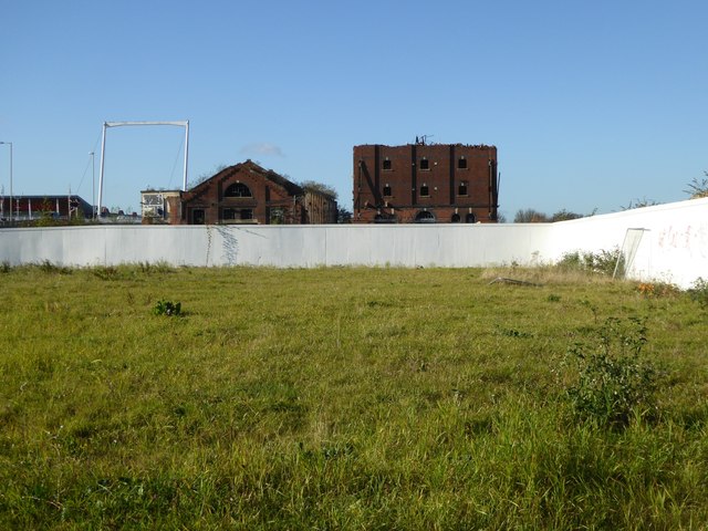
Image: © David Smith Taken: 25 Nov 2016
Open space, which was fenced in, between the shopping centre and the dock area
Images are licensed for reuse under creativecommons.org/licenses/by-sa/2.0
Image Location
Latitude
51.858602
Longitude
-2.253625