Kearsley Green
Introduction
The photograph on this page of Kearsley Green by Jonathan Wilkins as part of the Geograph project.
The Geograph project started in 2005 with the aim of publishing, organising and preserving representative images for every square kilometre of Great Britain, Ireland and the Isle of Man.

There are currently over 7.5m images from over 14,400 individuals and you can help contribute to the project by visiting https://www.geograph.org.uk
Kearsley Green
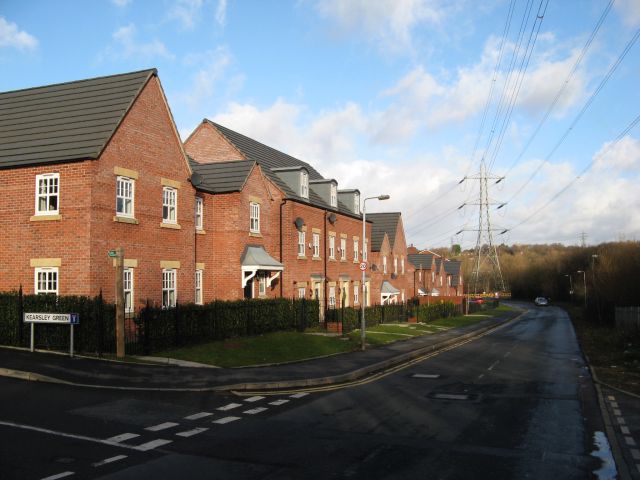
Image: © Jonathan Wilkins Taken: 26 Dec 2016
A new housing development upon the site of former industrial premises. The proximity of power distribution infrastructure is a ubiquitous feature of the district.
Images are licensed for reuse under creativecommons.org/licenses/by-sa/2.0
Image Location
Latitude
53.539569
Longitude
-2.361197