Moreton House
Introduction
The photograph on this page of Moreton House by Roger A Smith as part of the Geograph project.
The Geograph project started in 2005 with the aim of publishing, organising and preserving representative images for every square kilometre of Great Britain, Ireland and the Isle of Man.

There are currently over 7.5m images from over 14,400 individuals and you can help contribute to the project by visiting https://www.geograph.org.uk
Moreton House
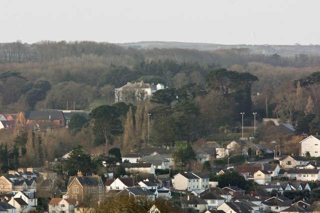
Image: © Roger A Smith Taken: 26 Dec 2016
Moreton House is a grade II listed building. The houses in the foreground are on the Londonderry Estate.
Images are licensed for reuse under creativecommons.org/licenses/by-sa/2.0
Image Location
Latitude
51.014873
Longitude
-4.230868