Crossroads in Staverton
Introduction
The photograph on this page of Crossroads in Staverton by David Smith as part of the Geograph project.
The Geograph project started in 2005 with the aim of publishing, organising and preserving representative images for every square kilometre of Great Britain, Ireland and the Isle of Man.

There are currently over 7.5m images from over 14,400 individuals and you can help contribute to the project by visiting https://www.geograph.org.uk
Crossroads in Staverton
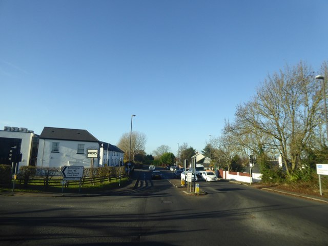
Image: © David Smith Taken: 25 Nov 2016
The road on the left, and the road straight ahead, are the boundaries of a large industrial estate Image
Images are licensed for reuse under creativecommons.org/licenses/by-sa/2.0
Image Location
Latitude
51.900215
Longitude
-2.159825