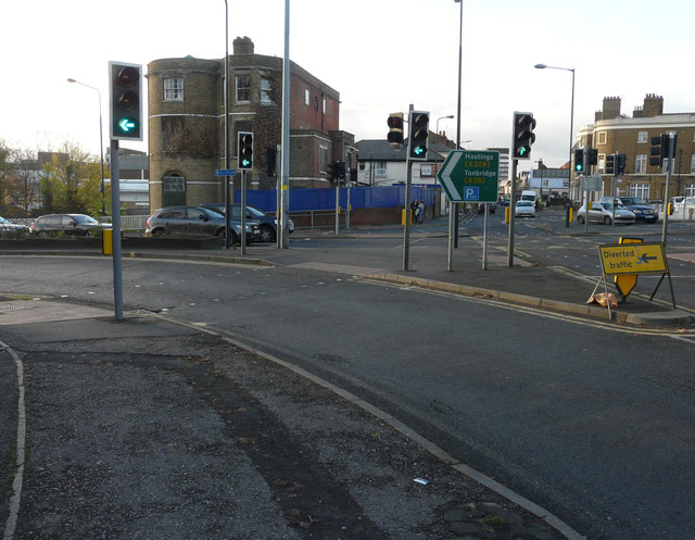
Looking west across Wat Tyler Way
Introduction
The photograph on this page of Looking west across Wat Tyler Way by John Baker as part of the Geograph project.
The Geograph project started in 2005 with the aim of publishing, organising and preserving representative images for every square kilometre of Great Britain, Ireland and the Isle of Man.
There are currently over 7.5m images from over 14,400 individuals and you can help contribute to the project by visiting https://www.geograph.org.uk

Image: © John Baker Taken: 27 Nov 2016
Towards Lenworth House, on the other side of the road, which was built around 1820. It is a large, three storey, detached house, built of yellow stock brick, with the roof hidden behind a parapet. There are two, full height, window bays (one rounded, one canted) facing east towards the former garden (now occupied by Wat Tyler Way). The King Street elevation was refaced in red brick and the openings altered and a two storey, red brick fore-building added in the later 19th century – these alterations have adversely affected the street frontage, whereas east and south elevations remain in an original attractive form. There is a two storey, late 19th century addition in yellow stock brick with a slate roof to the west side http://www.maidstone.gov.uk/__data/assets/pdf_file/0007/19681/Ashford-Road-Appraisal.pdf (scroll down to page 12 to see the original text in the link)

