Trinant Square bus stop and shelter, Trinant
Introduction
The photograph on this page of Trinant Square bus stop and shelter, Trinant by Jaggery as part of the Geograph project.
The Geograph project started in 2005 with the aim of publishing, organising and preserving representative images for every square kilometre of Great Britain, Ireland and the Isle of Man.

There are currently over 7.5m images from over 14,400 individuals and you can help contribute to the project by visiting https://www.geograph.org.uk
Trinant Square bus stop and shelter, Trinant
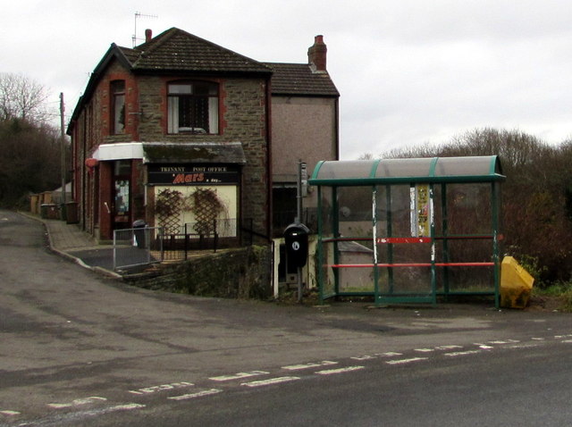
Image: © Jaggery Taken: 19 Dec 2016
This side of the road for buses to Blackwood (Stagecoach route 52 from Abertillery) and Newport (Stagecoach route X18 from Ebbw Vale). The village post office http://www.geograph.org.uk/photo/5231707 is on the left.
Images are licensed for reuse under creativecommons.org/licenses/by-sa/2.0
Image Location
Latitude
51.692857
Longitude
-3.148818