Countryside View From A483
Introduction
The photograph on this page of Countryside View From A483 by James Emmans as part of the Geograph project.
The Geograph project started in 2005 with the aim of publishing, organising and preserving representative images for every square kilometre of Great Britain, Ireland and the Isle of Man.

There are currently over 7.5m images from over 14,400 individuals and you can help contribute to the project by visiting https://www.geograph.org.uk
Countryside View From A483
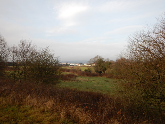
Image: © James Emmans Taken: 14 Dec 2016
The ancient Wat's Dyke runs through these fields. The Wat's Dyke Way follows the dyke closely. Wikipedia : https://en.wikipedia.org/wiki/Wat's_Dyke Trail: https://www.ldwa.org.uk/ldp/members/show_path.php?path_name=Wat%27s+Dyke+Way+Heritage+Trail
Images are licensed for reuse under creativecommons.org/licenses/by-sa/2.0
Image Location
Latitude
53.066715
Longitude
-2.998349