The Pines
Introduction
The photograph on this page of The Pines by Michael Dibb as part of the Geograph project.
The Geograph project started in 2005 with the aim of publishing, organising and preserving representative images for every square kilometre of Great Britain, Ireland and the Isle of Man.

There are currently over 7.5m images from over 14,400 individuals and you can help contribute to the project by visiting https://www.geograph.org.uk
The Pines
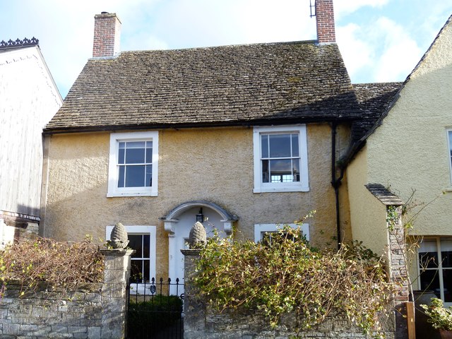
Image: © Michael Dibb Taken: 2 Nov 2016
A datestone over the door reads 1691. This delightful house is listed, grade II, with details at: https://www.historicengland.org.uk/listing/the-list/list-entry/1356013
Images are licensed for reuse under creativecommons.org/licenses/by-sa/2.0
Image Location
Latitude
51.570965
Longitude
-2.21335