Osbo(u)rne Road, Pentwyn
Introduction
The photograph on this page of Osbo(u)rne Road, Pentwyn by Jaggery as part of the Geograph project.
The Geograph project started in 2005 with the aim of publishing, organising and preserving representative images for every square kilometre of Great Britain, Ireland and the Isle of Man.

There are currently over 7.5m images from over 14,400 individuals and you can help contribute to the project by visiting https://www.geograph.org.uk
Osbo(u)rne Road, Pentwyn
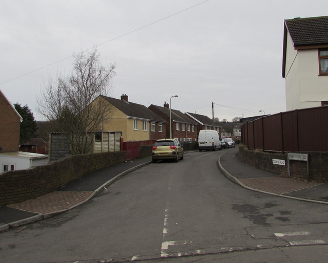
Image: © Jaggery Taken: 19 Dec 2016
Cul-de-sac on the east side of Penywaun Road. The name sign nearer the camera shows OSBOURNE RD. The smaller sign on the wall shows OSBORNE ROAD.
Images are licensed for reuse under creativecommons.org/licenses/by-sa/2.0
Image Location
Latitude
51.696555
Longitude
-3.14761