Milnthorpe Road, Aldrington, Hove
Introduction
The photograph on this page of Milnthorpe Road, Aldrington, Hove by Simon Carey as part of the Geograph project.
The Geograph project started in 2005 with the aim of publishing, organising and preserving representative images for every square kilometre of Great Britain, Ireland and the Isle of Man.

There are currently over 7.5m images from over 14,400 individuals and you can help contribute to the project by visiting https://www.geograph.org.uk
Milnthorpe Road, Aldrington, Hove
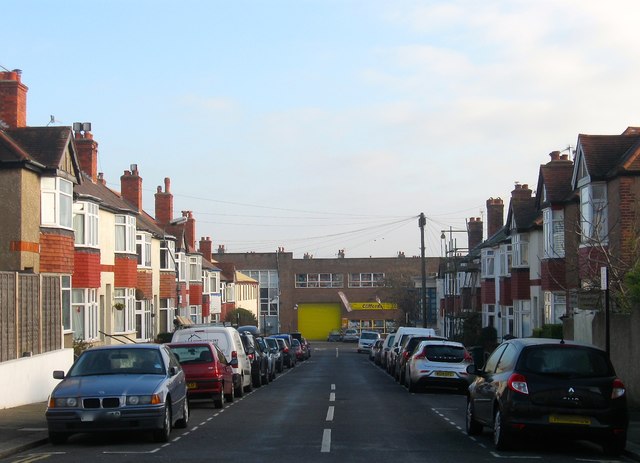
Image: © Simon Carey Taken: 17 Dec 2016
A residential road that links Grange Road to School Road that had been laid out by the time of the 1911 OS map and had little development by the time of the 1932 edition. However, the road was completed by the end of the 1930s.
Images are licensed for reuse under creativecommons.org/licenses/by-sa/2.0
Image Location
Latitude
50.83526
Longitude
-0.190313