House on Love Lane, Wateringbury
Introduction
The photograph on this page of House on Love Lane, Wateringbury by David Howard as part of the Geograph project.
The Geograph project started in 2005 with the aim of publishing, organising and preserving representative images for every square kilometre of Great Britain, Ireland and the Isle of Man.

There are currently over 7.5m images from over 14,400 individuals and you can help contribute to the project by visiting https://www.geograph.org.uk
House on Love Lane, Wateringbury
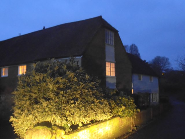
Image: © David Howard Taken: 18 Dec 2016
By the size and design this looks like the Mill the road behind it is called, Mill Lane.
Images are licensed for reuse under creativecommons.org/licenses/by-sa/2.0
Image Location
Latitude
51.25473
Longitude
0.415706