Crossroads, Luckington
Introduction
The photograph on this page of Crossroads, Luckington by Derek Harper as part of the Geograph project.
The Geograph project started in 2005 with the aim of publishing, organising and preserving representative images for every square kilometre of Great Britain, Ireland and the Isle of Man.

There are currently over 7.5m images from over 14,400 individuals and you can help contribute to the project by visiting https://www.geograph.org.uk
Crossroads, Luckington
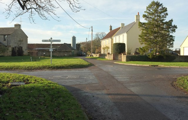
Image: © Derek Harper Taken: 14 Dec 2016
With a second green in the village, northwest of the one by the B4040. Ahead is Cherry Orchard Lane; right joins Image]; left joins the B4040 just west of the other green.
Images are licensed for reuse under creativecommons.org/licenses/by-sa/2.0
Image Location
Latitude
51.554632
Longitude
-2.243707