Lee and Stort Navigation: Lock no 1: South Mill Lock
Introduction
The photograph on this page of Lee and Stort Navigation: Lock no 1: South Mill Lock by Peter S as part of the Geograph project.
The Geograph project started in 2005 with the aim of publishing, organising and preserving representative images for every square kilometre of Great Britain, Ireland and the Isle of Man.

There are currently over 7.5m images from over 14,400 individuals and you can help contribute to the project by visiting https://www.geograph.org.uk
Lee and Stort Navigation: Lock no 1: South Mill Lock
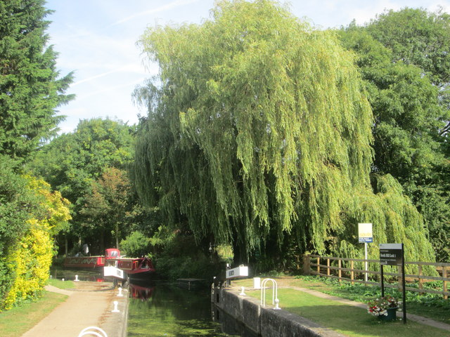
Image: © Peter S Taken: 31 Aug 2016
One of thirteen canal locks on the Stort Navigation route between Bishop’s Stortford and Roydon, this being the first one if approaching from Bishop's Stortford. Train connections at each end of the route enable a walk to be done by public transport.
Images are licensed for reuse under creativecommons.org/licenses/by-sa/2.0
Image Location
Latitude
51.858309
Longitude
0.168776