Coleridge Street, Aldrington, Hove
Introduction
The photograph on this page of Coleridge Street, Aldrington, Hove by Simon Carey as part of the Geograph project.
The Geograph project started in 2005 with the aim of publishing, organising and preserving representative images for every square kilometre of Great Britain, Ireland and the Isle of Man.

There are currently over 7.5m images from over 14,400 individuals and you can help contribute to the project by visiting https://www.geograph.org.uk
Coleridge Street, Aldrington, Hove
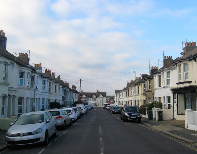
Image: © Simon Carey Taken: 17 Dec 2016
The western section of the street located between Westbourne Street and Rutland Road that was developed in the 1890s and named after Samuel Taylor Coleridge. Beyond Westbourne Street the street heads east to Sackville Road, the A2023. Part of the district known locally as Poets Corner due to the street names as opposed to any bohemian tendencies.
Images are licensed for reuse under creativecommons.org/licenses/by-sa/2.0
Image Location
Latitude
50.835226
Longitude
-0.182361