Central Park
Introduction
The photograph on this page of Central Park by Marathon as part of the Geograph project.
The Geograph project started in 2005 with the aim of publishing, organising and preserving representative images for every square kilometre of Great Britain, Ireland and the Isle of Man.

There are currently over 7.5m images from over 14,400 individuals and you can help contribute to the project by visiting https://www.geograph.org.uk
Central Park
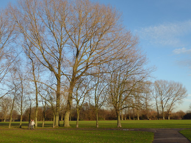
Image: © Marathon Taken: 14 Dec 2016
Central Park is situated between Rainham Road North and Rush Green Road, and was laid out behind Dagenham Civic Centre which is a superb example of late-1930s civic architecture. It was built in 1937, as was the fire station beyond it. The grand scale of Central Park reflects the dramatic increase in size of Dagenham between the Wars. There are a number of straight paths lined by trees such as the one just ahead.
Images are licensed for reuse under creativecommons.org/licenses/by-sa/2.0
Image Location
Latitude
51.557642
Longitude
0.166271