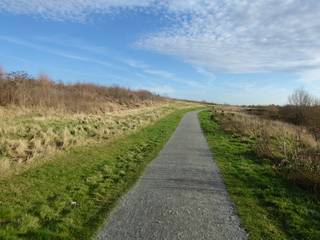
The path up Ingrebourne Hill
Introduction
The photograph on this page of The path up Ingrebourne Hill by Marathon as part of the Geograph project.
The Geograph project started in 2005 with the aim of publishing, organising and preserving representative images for every square kilometre of Great Britain, Ireland and the Isle of Man.
There are currently over 7.5m images from over 14,400 individuals and you can help contribute to the project by visiting https://www.geograph.org.uk

Image: © Marathon Taken: 14 Dec 2016
Ingrebourne Hill was completed in partnership between the Forestry Commission and Ingrebourne Valley Limited (IVL).The site was a former sand and gravel quarry, which was filled with a range of materials, including bricks, concrete and metal before IVL purchased the site. The partnership between IVL and the Forestry Commission enabled a restoration scheme to be developed so that the disused site could be transformed into a country park with a high point at Ingrebourne Hill providing superb views.

