Mansfield Road, Aldrington, Hove
Introduction
The photograph on this page of Mansfield Road, Aldrington, Hove by Simon Carey as part of the Geograph project.
The Geograph project started in 2005 with the aim of publishing, organising and preserving representative images for every square kilometre of Great Britain, Ireland and the Isle of Man.

There are currently over 7.5m images from over 14,400 individuals and you can help contribute to the project by visiting https://www.geograph.org.uk
Mansfield Road, Aldrington, Hove
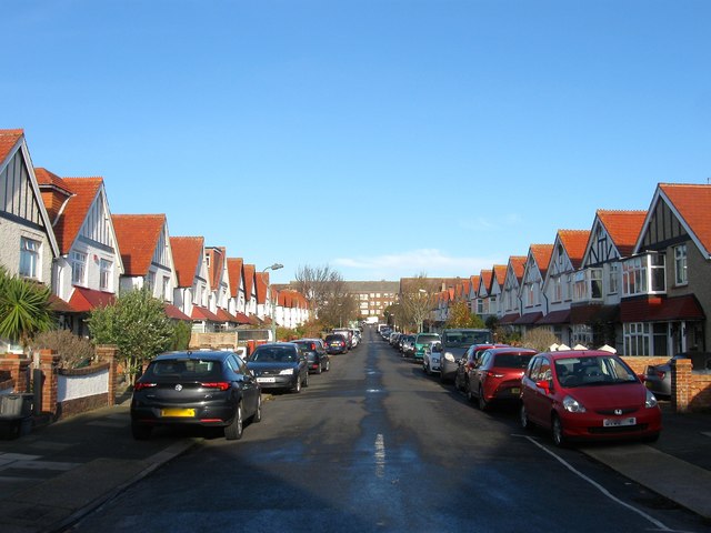
Image: © Simon Carey Taken: 14 Dec 2016
A residential road that links Portland Avenue to Portland Road. Originally part of a field called Great Golhards which was located within a detached portion of Portslade parish that was acquired by Aldrington in 1883 by which point part was used as a brick field. The road was laid out and developed in the early 1930s.
Images are licensed for reuse under creativecommons.org/licenses/by-sa/2.0
Image Location
Latitude
50.833644
Longitude
-0.19634