Aldrington Recreation Ground (Wish Park), Hove
Introduction
The photograph on this page of Aldrington Recreation Ground (Wish Park), Hove by Simon Carey as part of the Geograph project.
The Geograph project started in 2005 with the aim of publishing, organising and preserving representative images for every square kilometre of Great Britain, Ireland and the Isle of Man.

There are currently over 7.5m images from over 14,400 individuals and you can help contribute to the project by visiting https://www.geograph.org.uk
Aldrington Recreation Ground (Wish Park), Hove
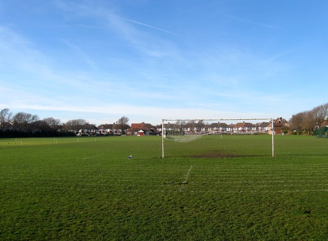
Image: © Simon Carey Taken: 14 Dec 2016
Originally known as Marine Park and locally by everyone as Wish Park with the exception of Brighton Council who call it Aldrington Recreation Ground. The park predates nearly all of the housing having been acquired by Hove council in 1895, see https://jackiedinnis.files.wordpress.com/2013/08/aldrington-park-copy.jpg taken in 1910, and was originally an open field called Wish Laine on Aldrington's 1840 tithe map that would later be known locally as Wish Meadow. The houses at the far end are in Saxon Road.
Images are licensed for reuse under creativecommons.org/licenses/by-sa/2.0
Image Location
Latitude
50.830144
Longitude
-0.196759