Bank up to Whittonstall
Introduction
The photograph on this page of Bank up to Whittonstall by Robert Graham as part of the Geograph project.
The Geograph project started in 2005 with the aim of publishing, organising and preserving representative images for every square kilometre of Great Britain, Ireland and the Isle of Man.

There are currently over 7.5m images from over 14,400 individuals and you can help contribute to the project by visiting https://www.geograph.org.uk
Bank up to Whittonstall
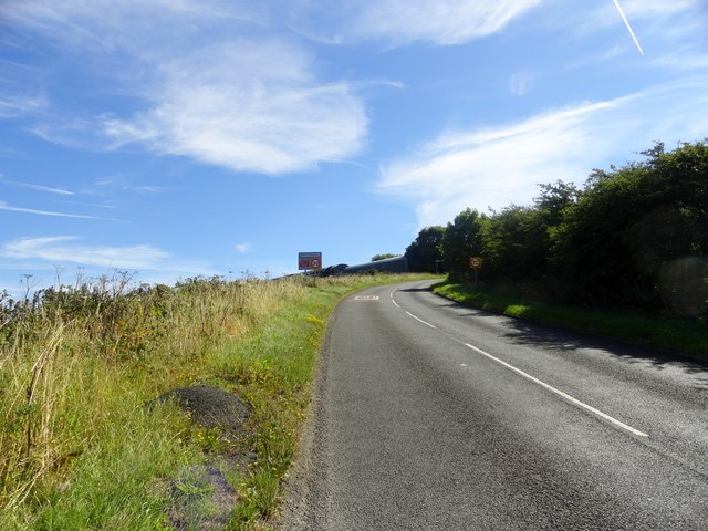
Image: © Robert Graham Taken: 24 Aug 2016
The B6309 climbs steeply up from west into Whittonstall village.
Images are licensed for reuse under creativecommons.org/licenses/by-sa/2.0
Image Location
Latitude
54.910542
Longitude
-1.891098