Bridge, St Cuthbert Street
Introduction
The photograph on this page of Bridge, St Cuthbert Street by Richard Webb as part of the Geograph project.
The Geograph project started in 2005 with the aim of publishing, organising and preserving representative images for every square kilometre of Great Britain, Ireland and the Isle of Man.

There are currently over 7.5m images from over 14,400 individuals and you can help contribute to the project by visiting https://www.geograph.org.uk
Bridge, St Cuthbert Street
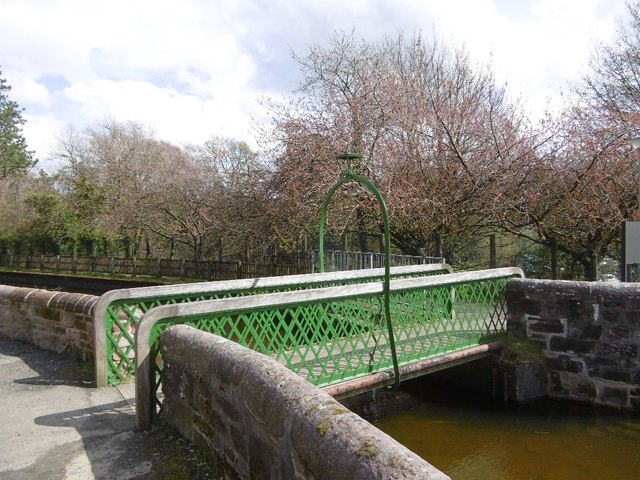
Image: © Richard Webb Taken: 5 May 2016
Bridge over a lade in Catrine. The lade is part of the power system for the mills, taking water from the voes, (holding ponds). A weir diverts water to the voes from the River Ayr.
Images are licensed for reuse under creativecommons.org/licenses/by-sa/2.0
Image Location
Latitude
55.505767
Longitude
-4.324337