19-35, Westbourne Place, Hove
Introduction
The photograph on this page of 19-35, Westbourne Place, Hove by Simon Carey as part of the Geograph project.
The Geograph project started in 2005 with the aim of publishing, organising and preserving representative images for every square kilometre of Great Britain, Ireland and the Isle of Man.

There are currently over 7.5m images from over 14,400 individuals and you can help contribute to the project by visiting https://www.geograph.org.uk
19-35, Westbourne Place, Hove
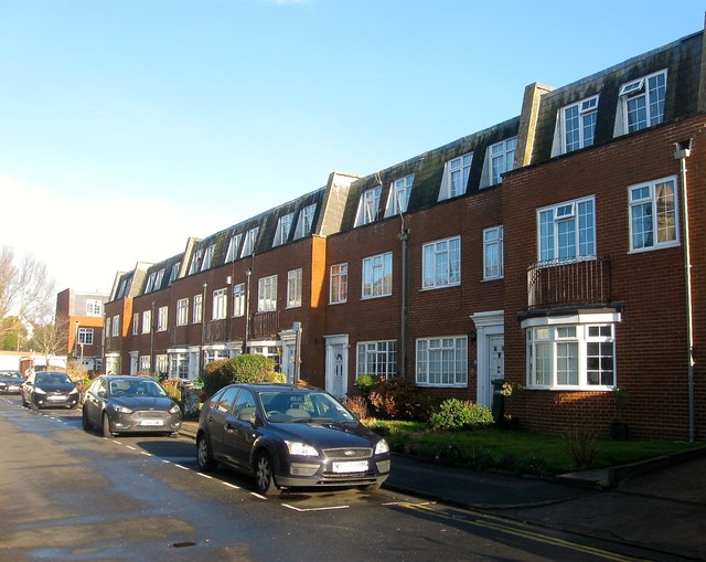
Image: © Simon Carey Taken: 11 Dec 2016
Located at the north eastern end of Westbourne Place and officially in Hove as opposed to Aldrington, the old parish boundary between the two runs along the pavement. Built in the 1970s on the site of former garages built in 1929, see http://regencysociety-jamesgray.com/volume15/source/jg_15_110.html and http://regencysociety-jamesgray.com/volume15/source/jg_15_109.html
Images are licensed for reuse under creativecommons.org/licenses/by-sa/2.0
Image Location
Latitude
50.828224
Longitude
-0.183201