River Ayr Way
Introduction
The photograph on this page of River Ayr Way by Richard Webb as part of the Geograph project.
The Geograph project started in 2005 with the aim of publishing, organising and preserving representative images for every square kilometre of Great Britain, Ireland and the Isle of Man.

There are currently over 7.5m images from over 14,400 individuals and you can help contribute to the project by visiting https://www.geograph.org.uk
River Ayr Way
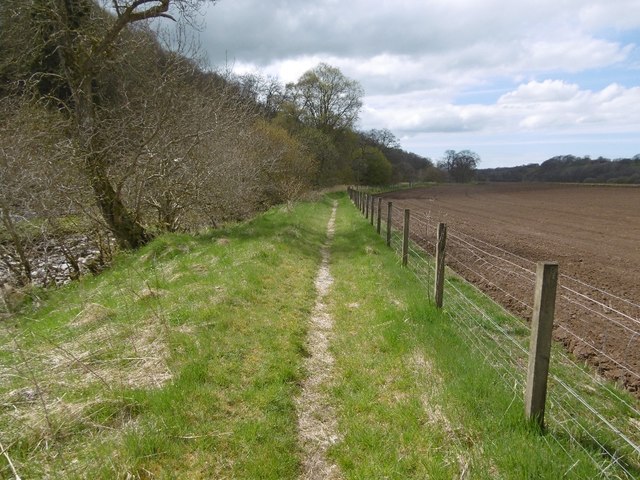
Image: © Richard Webb Taken: 5 May 2016
Crossing the Merkland Burn is quite a landmark. Downstream, arable farmland appears while the path crosses steep ground and bogs upstream. The south bank contrasts with this gentle scene here, it is steep with wet loose crags.
Images are licensed for reuse under creativecommons.org/licenses/by-sa/2.0
Image Location
Latitude
55.506878
Longitude
-4.240625