WW2 Sangar
Introduction
The photograph on this page of WW2 Sangar by Douglas Cumming as part of the Geograph project.
The Geograph project started in 2005 with the aim of publishing, organising and preserving representative images for every square kilometre of Great Britain, Ireland and the Isle of Man.

There are currently over 7.5m images from over 14,400 individuals and you can help contribute to the project by visiting https://www.geograph.org.uk
WW2 Sangar
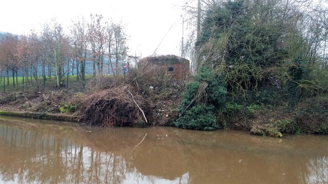
Image: © Douglas Cumming Taken: 13 Dec 2016
Still watching over the Shropshire Union Canal; I think it was once part of RAF Airfield Calveley.
Images are licensed for reuse under creativecommons.org/licenses/by-sa/2.0
Image Location
Latitude
53.117135
Longitude
-2.597746