House on the Whitley Rd
Introduction
The photograph on this page of House on the Whitley Rd by Nigel Mykura as part of the Geograph project.
The Geograph project started in 2005 with the aim of publishing, organising and preserving representative images for every square kilometre of Great Britain, Ireland and the Isle of Man.

There are currently over 7.5m images from over 14,400 individuals and you can help contribute to the project by visiting https://www.geograph.org.uk
House on the Whitley Rd
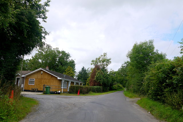
Image: © Nigel Mykura Taken: 5 Aug 2015
This small house is next to an incongruous entrance. It does however lead to a very large poultry farm hidden behind the trees belonging to D&M Poultry. It occupies an area that on the old maps is shown as Whitley woods, but there are very few trees there now.
Images are licensed for reuse under creativecommons.org/licenses/by-sa/2.0
Image Location
Latitude
51.1313
Longitude
-2.792113