Farmland near Horseleycross Street
Introduction
The photograph on this page of Farmland near Horseleycross Street by David Kemp as part of the Geograph project.
The Geograph project started in 2005 with the aim of publishing, organising and preserving representative images for every square kilometre of Great Britain, Ireland and the Isle of Man.

There are currently over 7.5m images from over 14,400 individuals and you can help contribute to the project by visiting https://www.geograph.org.uk
Farmland near Horseleycross Street
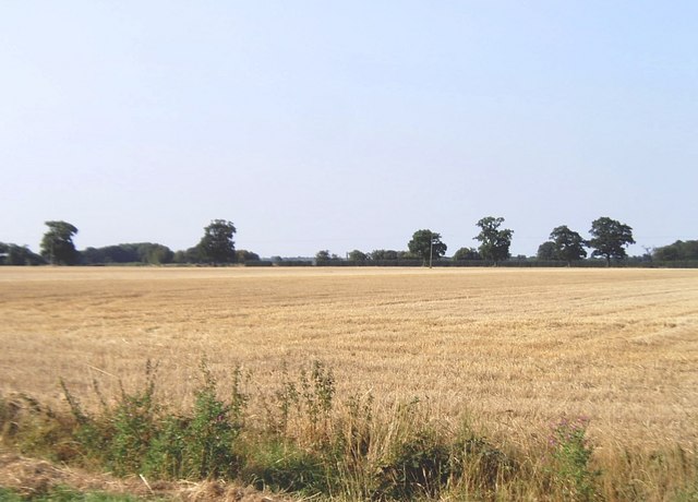
Image: © David Kemp Taken: 11 Aug 2007
Apart from one small wood, most of the gridsquare looks like this. Taken from Skiphatch Lane, a grassy bridleway.
Images are licensed for reuse under creativecommons.org/licenses/by-sa/2.0
Image Location
Latitude
51.924588
Longitude
1.079746